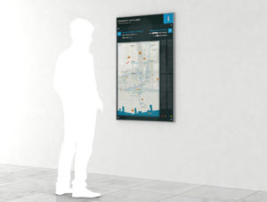
The Toronto Financial District Business Improvement Area (BIA) has released new wayfinding and mapping concepts for the city's Path pedestrian network, which provides weather-protected connections between buildings in the downtown core.

More than 200,000 people use the Path each workday and, with 1,100 shops and restaurants across 75 properties, the network has become a significant economic force, but as it is mostly underground, it is not known for being easy to navigate. New signs and maps will focus on getting people to major landmarks through connector routes. To avoid leading them to dead ends, the signs will separately identify branch routes that lead only to a single building.
The next step will be a pilot project this summer, after which the municipal government will report on the implementation strategy. A full rollout is planned for early 2018.


